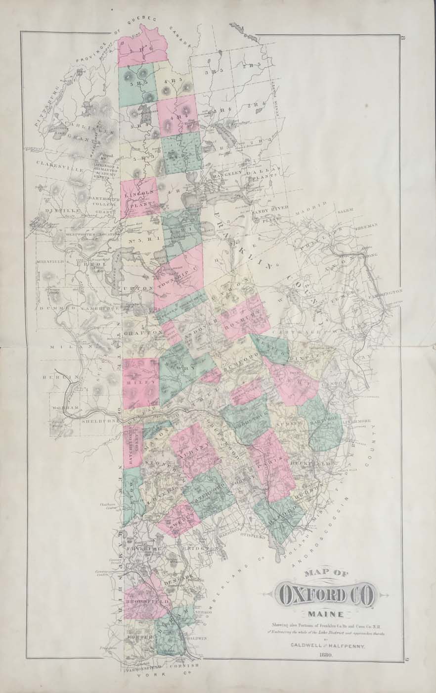
Map of Oxford County Maine from Caldwell and Halfpenny’s Atlas of Oxford County Maine 1880. 26″x16.25″. Map is hand colored. Railroads, towns, and rivers are listed. The back of this map is scrapbooked with various newspaper clippings from the area from around 1932. Many of the clippings have poems on them. (188)