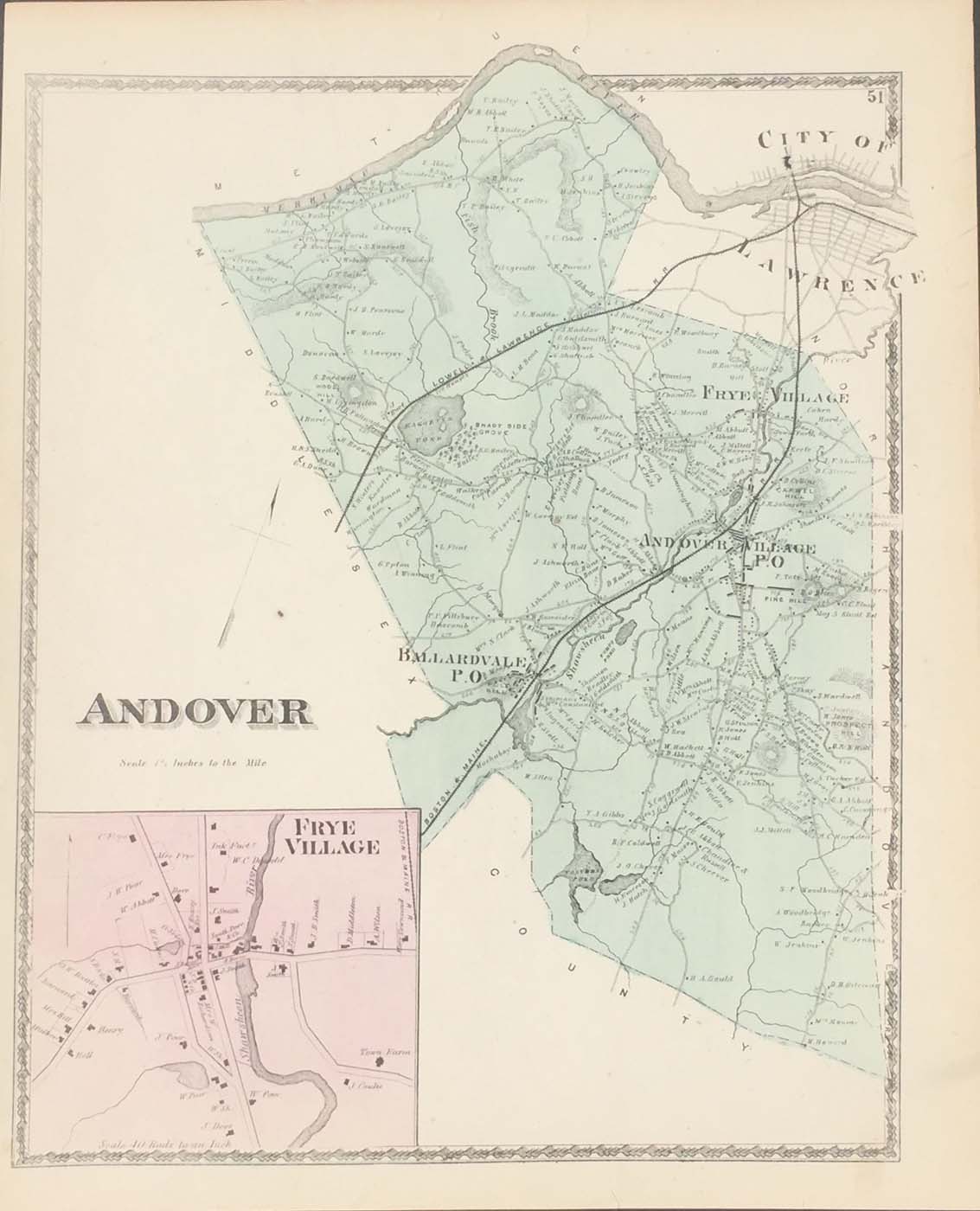
Map of Andover, MA from DG Beers Atlas of Essex County 1872. 13.5″x16.5″. Map is hand colored. Railroads, rivers, streets, and property owners are listed. There is a small map of Frye Village. (181)
Map of Andover, MA from DG Beers Atlas of Essex County 1872. 13.5″x16.5″. Map is hand colored. Railroads, rivers, streets, and property owners are listed. There is a small map of Frye Village. (181)