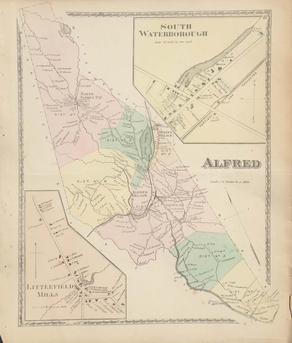
Map of the Alfred, Maine from Sanford Everts Atlas of York County Maine 1872. 14″x16″. Map is hand colored. Railroads, streets, property owners,and rivers are listed. There are two small maps of South Waterborough and Littlefield Mills. (230)
Map of the Alfred, Maine from Sanford Everts Atlas of York County Maine 1872. 14″x16″. Map is hand colored. Railroads, streets, property owners,and rivers are listed. There are two small maps of South Waterborough and Littlefield Mills. (230)