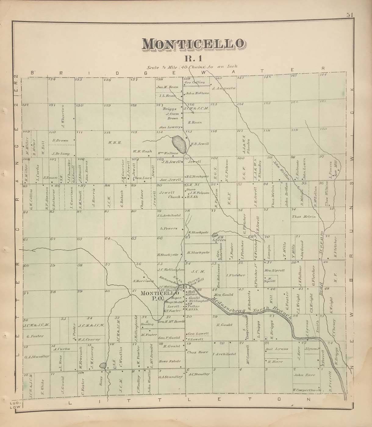
Map of the Monticello, Maine from Colby and Roe’s Atlas of Aroostook County 1877. 14″x16″. Map is hand colored. Railroads, streets, property owners,and rivers are listed. (232)
Map of the Monticello, Maine from Colby and Roe’s Atlas of Aroostook County 1877. 14″x16″. Map is hand colored. Railroads, streets, property owners,and rivers are listed. (232)