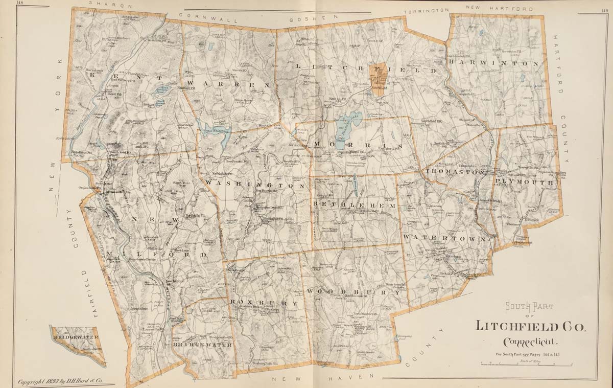
Map of the South Part of Litchfield County Connecticut from DH Hurd’s Atlas of the State of Connecticut 1893. 30″x20″. Map is hand colored. Railroads, streets, and rivers are listed. (221)
Map of the South Part of Litchfield County Connecticut from DH Hurd’s Atlas of the State of Connecticut 1893. 30″x20″. Map is hand colored. Railroads, streets, and rivers are listed. (221)