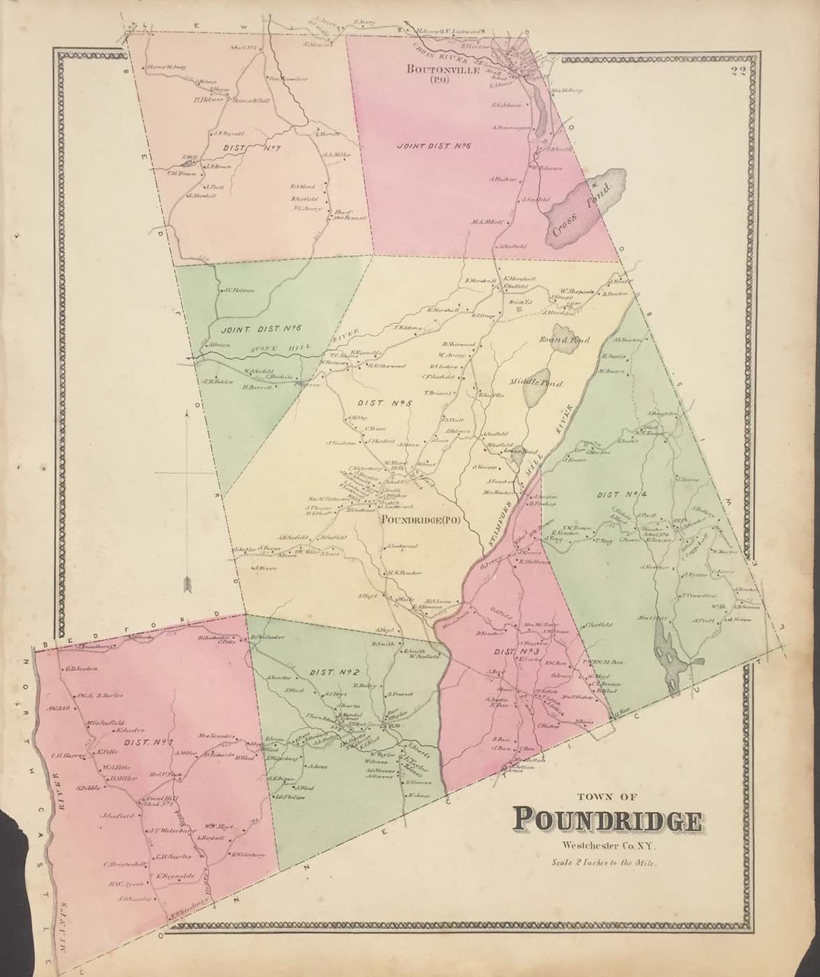
Map of the Poundridge, New York from FW Beers Atlas of New York and Vicinity 1867. 17″x14.5″. Map is hand colored. Railroads, streets, property owners,and rivers are listed. (226)
Map of the Poundridge, New York from FW Beers Atlas of New York and Vicinity 1867. 17″x14.5″. Map is hand colored. Railroads, streets, property owners,and rivers are listed. (226)