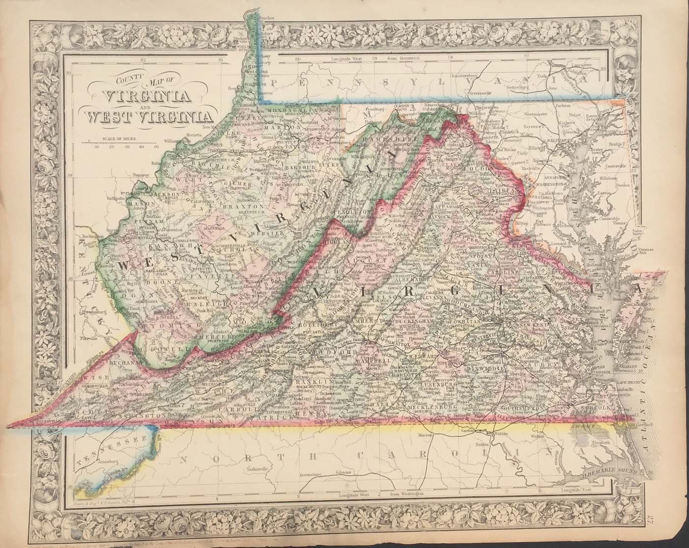
Map of Virginia and West Virginia from Mitchell’s New General Atlas 1863. 12″x15″. Map is hand colored by county. There is some tape on the back but it isn’t in the map frame. (199)
Map of Virginia and West Virginia from Mitchell’s New General Atlas 1863. 12″x15″. Map is hand colored by county. There is some tape on the back but it isn’t in the map frame. (199)