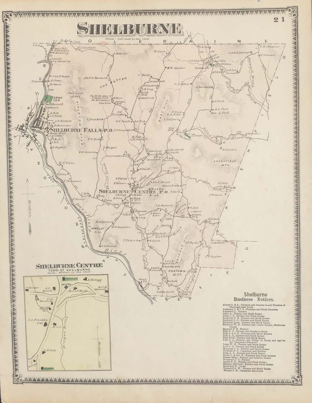
Map of Shelburne, Massachusetts from FW Beers Atlas of Franklin County 1871. 12″x15.5″. Map is hand colored. Railroads, rivers, streets, and property owners are listed. There is a business directory and a small map of Shelburne Centre. (194)
Map of Shelburne, Massachusetts from FW Beers Atlas of Franklin County 1871. 12″x15.5″. Map is hand colored. Railroads, rivers, streets, and property owners are listed. There is a business directory and a small map of Shelburne Centre. (194)