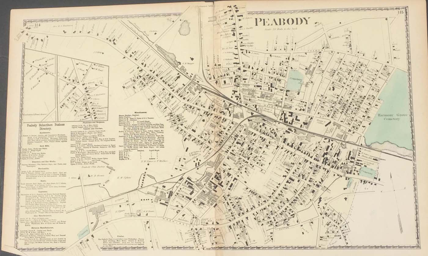
Map of dowtown Peabody, MA from DG Beers Atlas of Essex County 1872. 26″x16.5″. Map is hand colored. Railroads, rivers, streets, and property owners are listed. There is a business directory. (182
Map of dowtown Peabody, MA from DG Beers Atlas of Essex County 1872. 26″x16.5″. Map is hand colored. Railroads, rivers, streets, and property owners are listed. There is a business directory. (182