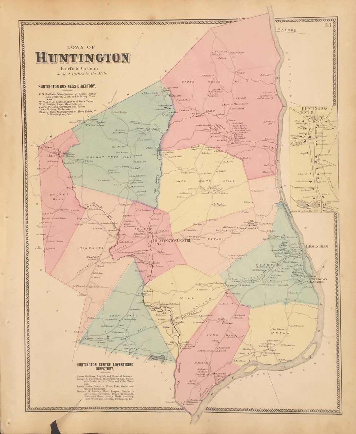
Map of Huntington, CT from FW Beers Atlas of New York and Vicinity 1867. 17.5″x14.5″. Map is hand colored. Railroads, rivers, streets, and property owners are listed. There is a business directoryand a small map of Huntington Centre. There is a closed tear on the bottom left side. (158)