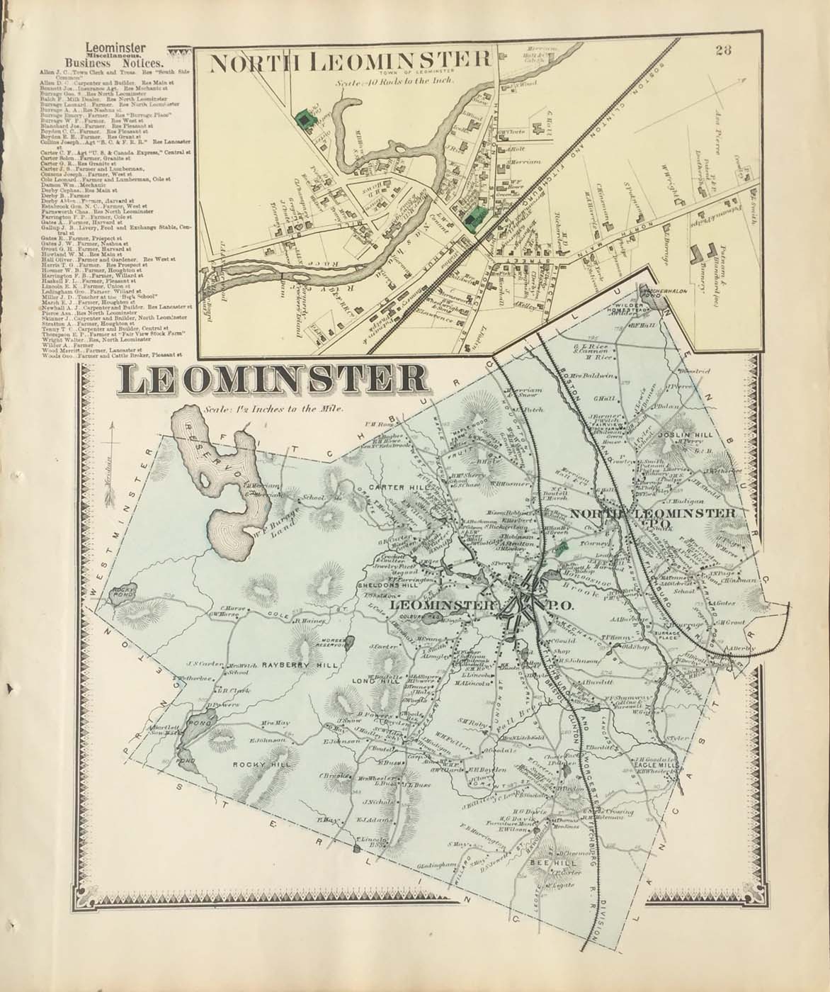
Map of Leominster, Massachusetts from FW Beers Atlas of Worcester County Massachusetts. 13″x15.5″ Map is hand colored. Railroads, rivers, streets, and property owners are listed. There is a business directory and a small map of North Leominster. (141)