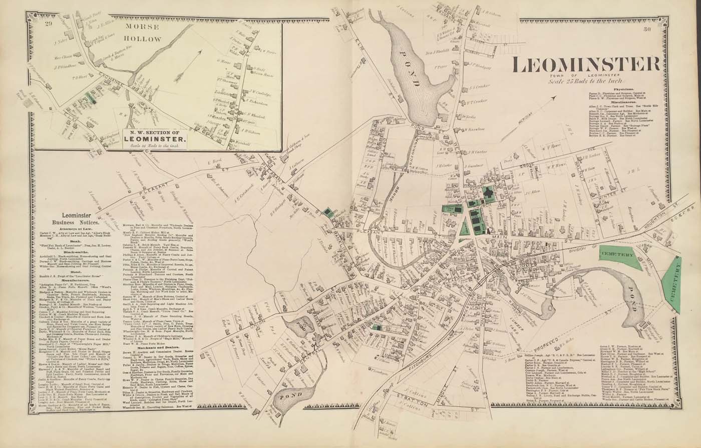
Map of the downtown part of Leominster, Massachusetts from FW Beers Atlas of Worcester County Massachusetts. 12″x15.5″ Map is hand colored. Railroads, rivers, streets, and property owners are listed. There is a business directory. (140)
Map of the downtown part of Leominster, Massachusetts from FW Beers Atlas of Worcester County Massachusetts. 12″x15.5″ Map is hand colored. Railroads, rivers, streets, and property owners are listed. There is a business directory. (140)