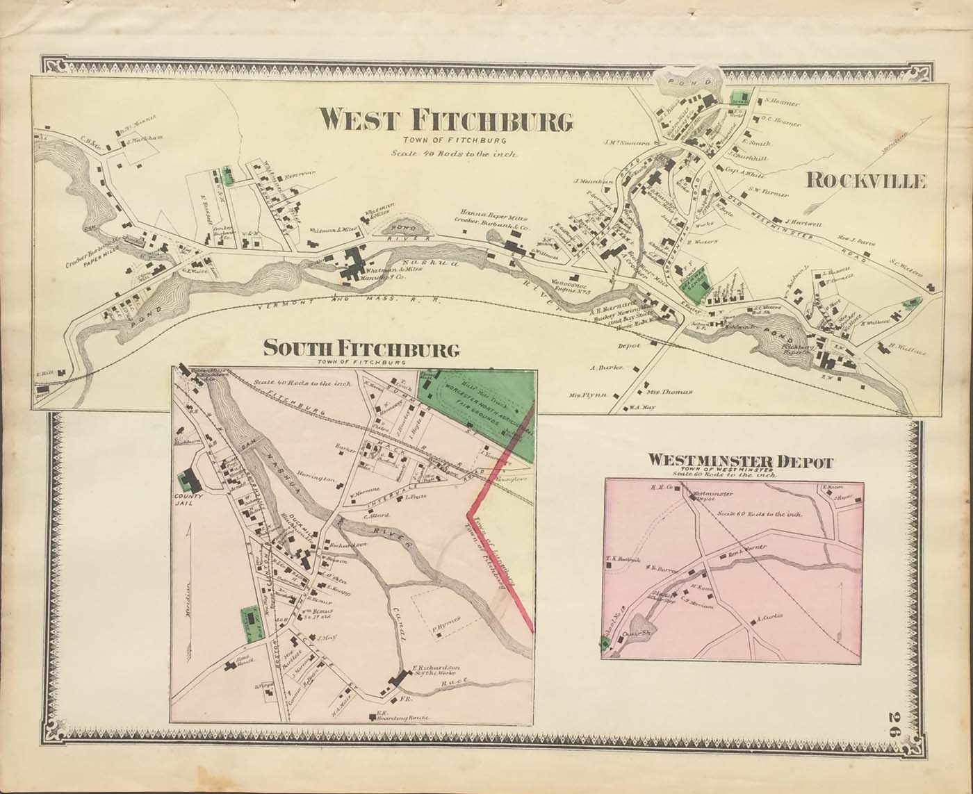
Map of Fitchburg, Massachusetts the west and south part from FW Beers Atlas of Worcester County Massachusetts. 13″x15.5″ Map is hand colored. Railroads, rivers, streets, and property owners are listed. There is a small map of Westminster Depot (139)
Map of Fitchburg, Massachusetts the west and south part from FW Beers Atlas of Worcester County Massachusetts. 13″x15.5″ Map is hand colored. Railroads, rivers, streets, and property owners are listed. There is a small map of Westminster Depot (139)