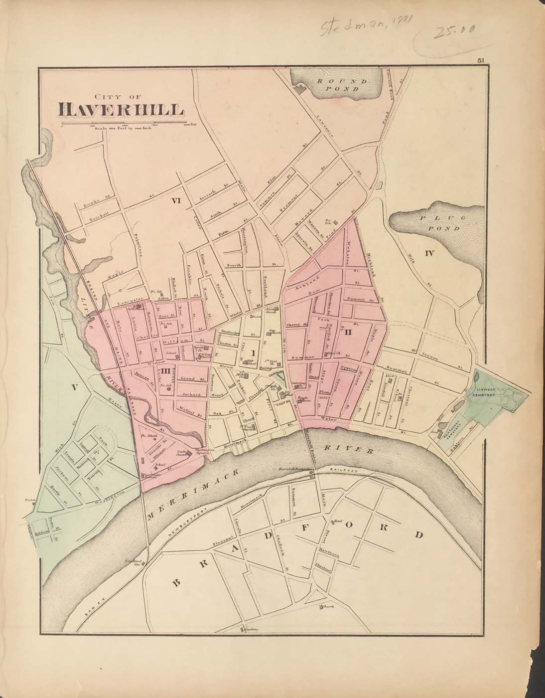
Two sided map of Haverhill and Newburyport, Massachusetts from OW Gray’s Topographical Atlas of Massachusetts 1871. 17″x13″ Map is hand colored. Railroads, rivers, and streets are listed. (135)
Two sided map of Haverhill and Newburyport, Massachusetts from OW Gray’s Topographical Atlas of Massachusetts 1871. 17″x13″ Map is hand colored. Railroads, rivers, and streets are listed. (135)