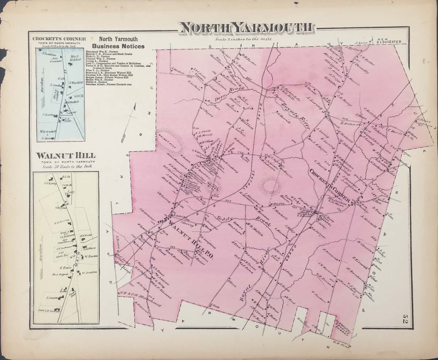
Map of North Yarmouth, Maine from FW Beers Atlas of Cumberland County Maine 1871. 15.5″x13″ Map is hand colored. Railroads, rivers, streets, and property owners are listed. There is a business directory and two small maps of Walnut Hill and Crockett’s Corner. (123)