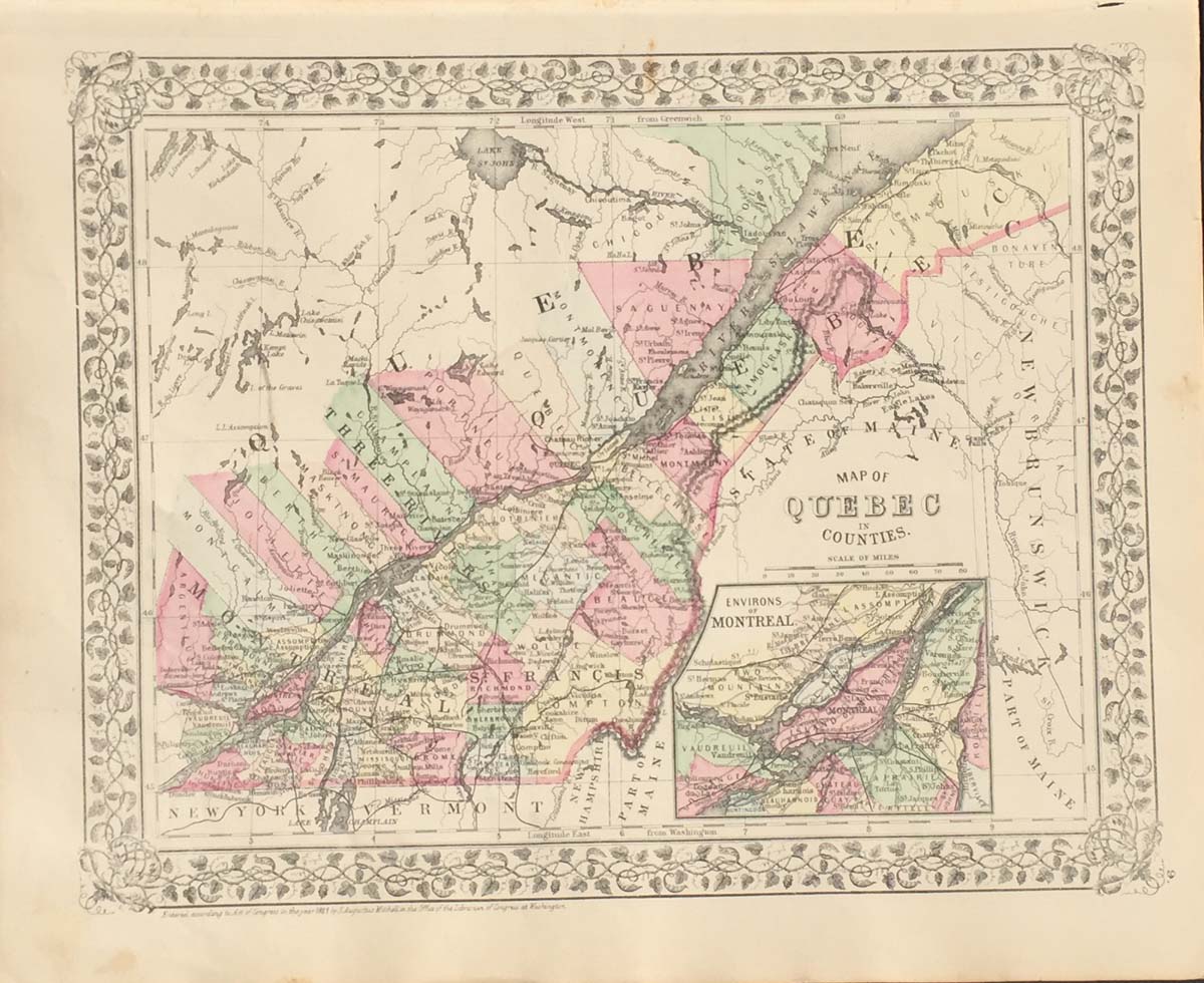
County Map of Quebec from Mitchell’s Atlas of the World circa 1881. 24″x15″ Map is hand colored by county. Railroads, towns, County names, and rivers are listed. (81)
County Map of Quebec from Mitchell’s Atlas of the World circa 1881. 24″x15″ Map is hand colored by county. Railroads, towns, County names, and rivers are listed. (81)